

Natural England create data dashboard to measure natural capital
How can you put a value on the natural environment or for using land in a particular way? Bringing together all of the relevant information, in one place, is vital.
David Burton of Natural England says: “The dashboard not only brings together existing data but also reveal gaps in knowledge – a hugely important aspect of this technology.”
There are many good sources of information on the ecosystem – environmental assessments, water catchment studies, land use and soil maps – but there is not yet a coherent way of bringing this information together in a meaningful way that enables a benchmarking approach at a local level.
Burton continues: “Having an agreed set of metrics helps to define what data is required to assess and invest in natural capital. This would lead to greater consistency in data collection and scalability.
“Supply chain sustainability managers have previously concluded that the biological components of Natural Capital are too complicated to attempt to measure in this way. We agree natural capital is complex, but now with big data techniques there is the potential to join up a lot of information and use it to make wise decisions.
By working with Natural England and other Defra group agencies Agrimetrics has created a tool that displays different data sources graphically to make it easier for advisers and non-specialists to understand and compare.
This makes it possible to create farm, estate and parish plans that are based on a common language for natural capital and ecosystem services.
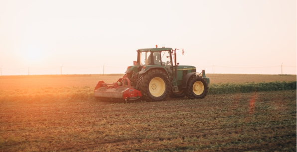
The Agrimetrics tool is being developed through scenario testing in three parishes in very different parts of England: a lowland farmland parish in Wiltshire, a fenland parish in Cambridgeshire and an upland farming parish in Northumberland.
Achieving Consensus on Land Use
Decisions about natural capital are made by multiple stakeholders with conflicting agendas; be it land for food production, house-building or recreation.
Professor Richard Tiffin, Agrimetrics’ Chief Scientific Officer explains: “In some cases these stakeholders might make conflicting decisions and in others there may be synergies. In all cases, it is likely that achieving consensus will help make better decisions.
The Agrimetrics tool is designed to support a consensus.” It has the potential to create an objective basis for such discussions by benchmarking the contributions that habitats make to soil function, water regulation, pollination and amenity value.
One key benchmark is water quality. It is known that some priority habitats, such as reed beds, are particularly valuable for increasing water quality when placed in key locations to filter water; which can be determined by both wildlife indicators and biological and chemical measures.
Removing nitrates and other pollutants from water is costly. Although irrigation of crops may be a key water use in rural areas requiring clean water, other industries will also benefit from reduced processing costs.
These organisations may be interested in funding habitat restoration schemes as an alternative to paying for expensive water treatment. This creates a virtuous circle, where all parties in the value chain can see the contribution made by good land management.
There is the potential to create a local economy where farmers maintain drainage and retain reed beds, water meadows and other habitats that help cleanse water and rewarded for the ecosystem services their land provides. Identifying opportunities such as this is possible with the new Natural Capital tool.
Farming practices that reduce runoff, such as maintaining ground cover and the precision input of fertilisers and pesticides, help to protect water quality.
Agrimetrics has access to soil maps that provide knowledge of soil type and fertility, and to satellite data that provides remote imaging of ground cover. This type of information, when combined with water quality, can provide benchmarking data for farmers.
Creating a dialogue
Metrics are objective and allow improved dialogue about emotive issues. Good metrics would make it possible for parish plans to present evidence for development restrictions in flood plains and other environmentally valuable areas. It would also help to encourage new settlements to be built on land of lower value in terms of both agricultural productivity and wider environmental services.
The Agrimetrics Natural Capital tool combines objective metrics and land management expertise with local knowledge, particularly from farmers and local communities. It’s a powerful combination to provide more informed and sustainable land use decision-making.
Other case studies you might like


AI identifies crops from space with 90% accuracy
Agrimetrics launches CropLens AI, a proprietary algorithm that identifies crop types from space.
ClearSky: Cloud free satellite data for agriculture
ClearSky's artificial intelligence removes a major barrier to the efficacy of satellite
ClearSky: Cloud free satellite data for agriculture
ClearSky's artificial intelligence removes a major barrier to the efficacy of satellite

Agrimetrics partners with Airbus to reduce cost
Crop Analytics, a crop and field analytics package from Airbus, is now available at a new, lower price.
Sign up for Agrimetrics newsletter
To get regular updates on new data sets, tips, trends and case studies, please subscribe to the Agrimetrics newsletter.

