
Measuring Nature : Why it is important and what it can do to help your business
What does earth observation mean?
Why pixels are important in imagery?
What can you see from space?
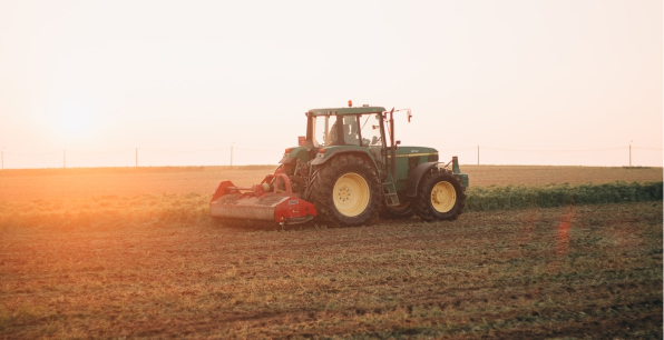
Food and farming are facing extraordinary challenges. Climate change is accelerating, subsidies are decreasing, and regulations aimed at improving sustainability are impacting. The need to adapt is essential to not only survive but to thrive.
How we collect, analyse and present data about planet earth will be vital in helping the agri-food industry to make those adaptations. In this series, we will describe the techniques used for Earth Observation and explain why they are important in helping to improve decision-making and efficiency in the farming industry.
Seeing more from above

Seeing the countryside from above and being able to pick out the places we have only known from the ground can reveal new things. Patterns in nature can suddenly reveal themselves. Relationships between features that are invisible on the ground, only make sense when viewed from above.
Through the ages, this ‘overhead view’ has provided insights into how best to farm and tend the land. Recording information from above began in the early 19Century when the fearless and wonderfully named, Gaspard-Félix Tournachon strapped an enormous camera to a hot air balloon and took pictures of Paris.

Methods have changed somewhat, and accuracy has been improved by strapping ever more sophisticated sensors onto drones, aeroplanes and satellites. These satellites orbit Earth from hundreds of kilometres above the surface, capturing and recording information as they go round.
Common names for this work include ‘Remote Sensing’ or ‘Earth Observation’, which, in simple terms, means how we explore, measure and manage the world from above.
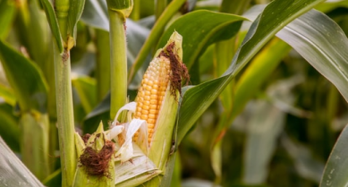
By seeing beyond what is simply visible to the naked eye, farmers and land managers can pin-point problems before they turn into major issues, better target the use of fertilisers and other inputs and, ultimately, increase the production yields.
Clear pictures give clear answers
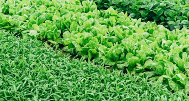
Digital images, also known as raster images, are created using millions of tiny square dots called pixels which blend to produce the overall picture. The number of pixels within a given picture will determine how much detail you will be able see; the more pixels, the more you will be able to zoom in without losing information because of blur.
This principle also applies for satellite images. The smaller the area on the ground that each pixel represents, the more you can see. Some satellites, from hundreds of miles up, can even produce images with pixels that represent just 50-centimetre squares on the ground. You can even count the number of cows in a field from space. These images are described as having a high ‘Spatial Resolution’.
Spatial resolution is one of several features of earth observation imagery that needs to be considered in land management. As we will look at in our next feature, Agrimetrics’s earth observation capabilities can even help you map the invisible.
To find out how you could benefit from using earth observation images in your business, speak to one of our team today info@agrimetrics.co.uk
Other articles that might interest you
AI identifies crops from space with 90% accuracy
Agrimetrics launches CropLens AI, a proprietary algorithm that identifies crop types from space.
ClearSky: Cloud free satellite data for agriculture
ClearSky's artificial intelligence removes a major barrier to the efficacy of satellite
ClearSky: Cloud free satellite data for agriculture
ClearSky's artificial intelligence removes a major barrier to the efficacy of satellite

Agrimetrics partners with Airbus to reduce cost
Crop Analytics, a crop and field analytics package from Airbus, is now available at a new, lower price.
Sign up for Agrimetrics newsletter
To get regular updates on new data sets, tips, trends and case studies, please subscribe to the Agrimetrics newsletter.

