
Measuring Nature: Why it is important and what it can do to help your business – Part 4
How we create 3-D images
How they can help us model scenarios on farm
How we can use the insight to improve farm businesses
So far, in our Measuring Nature series we have looked at using two-dimensional images and the invaluable insights these can reveal. However, as we know, the world is not flat, so let’s explore how we can create 3D views using images from space and the extra clarity these can provide.
Seeing the world in 3-D
Whilst 3-D imagery may sound like a complicated area, the science behind it is as plain as the nose on your face, or more precisely, your eyes. Having two forward facing eyes allows our brains to combine two slightly different angles of the image we are looking at to create the ‘depth’ of a three-dimensional view.
The technical name for this is stereopsis or stereoscopic vision and it not only provides a 3-D image of the world, but it also allows us to pick things up and move around safely by being able to judge distances. Satellites can do the same thing.

Creating a Digital Elevation Model
When the sensors pass over our farms, they can take two (or more) images of the same spot. However, because they are moving in orbit, the images taken slightly later will be from a different angle and where the images overlap, we can use the same techniques that our brains use.
Our brains are not only sophisticated enough to combine light from our eyes into ever-moving 3-D images, they can also write incredibly clever software which can achieve the same for these multiple satellite images.
The result is what’s called a Digital Elevation Model (DEM). Simply put, this is a regularly spaced collection of points with each one displaying a height (see image). The more points in the model, the more accurate the representation of the heights.
3-D images can help farming businesses
A 3-D representation of the land increases our understanding because we can use this DEM to model several factors which are critical to farming and increasing yields.
Around the world farmers are trying to manage with having too much or too little water, which can be critical to the health of their business. Using a DEM means we can simulate the flow of water through our land and using different amounts of rain, understand which areas would be in danger and which would need more attention.

Further analysis can help us understand what effects slope and aspect have on the health of our soil and, subsequently, the yield of our crops. When run-off occurs, it may be that we need to terrace an area to keep those vital nutrients where we need them. This can all be modelled using a DEM.
We have a looked at many features of satellite imagery and whilst we have always tried to tie this back to how those features are used in the real world, the real benefit of using this data is understanding the specific farming applications and this is what we will look at next.
Glossary
Stereoscopic: a method of creating the illusion of depth in an image by using at least two, slightly different images of the same view.
Digital Terrain Model: a digital model comprised of regularly spaced points, each of which represent a height.
Other articles that might interest you
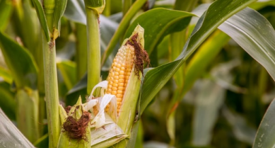
AI identifies crops from space with 90% accuracy
Agrimetrics launches CropLens AI, a proprietary algorithm that identifies crop types from space.
ClearSky: Cloud free satellite data for agriculture
ClearSky's artificial intelligence removes a major barrier to the efficacy of satellite
ClearSky: Cloud free satellite data for agriculture
ClearSky's artificial intelligence removes a major barrier to the efficacy of satellite
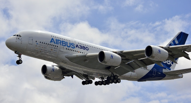
Agrimetrics partners with Airbus to reduce cost
Crop Analytics, a crop and field analytics package from Airbus, is now available at a new, lower price.
Sign up for Agrimetrics newsletter
To get regular updates on new data sets, tips, trends and case studies, please subscribe to the Agrimetrics newsletter.

